The Crooked River Watershed Council places a high value on monitoring the Crooked River watershed. Water quality has long been identified as a resource concern in the Crooked River. For a working lands watershed, largely developed and supported by agriculture as a major economic driver, impacts to water quality have been presumed by some to derive directly and solely from agricultural sources, practices, and land use patterns. This presumption may or may not be completely accurate, and it’s possible that other sources beyond agriculture also contribute to current water quality impacts. The Crooked River Watershed Council, along with many other partners, have been actively monitoring water quality components in the Crooked River watershed.
Data
Lower Crooked River baseline data-
The Lower Crooked River subbasin is comprised of 1.2 millon acres mostly located in Crook and Deschutes Counties. The low point of the subbasin is 1,942 feet at Lake Billy Chinook and the high point is at 5,925 feet located in Ochoco National Forest between Little McKay and McKay Creeks. Communities within the subbasin include Prineville, Terrebonne, parts of Redmond and portions of Culver.
The baseline monitoring project started in 2020 and is designed to establish current water quality conditions in the Lower Crooked River subbasin. This subbasin hosts the majority of the human population in the watershed and contains a large portion of the most productive soil types. These highly productive soil resources tend to be associated with floodplains along the Crooked River, its major tributaries, and smaller drainage areas.
The data results from the project set water quality parameter reference points that can be used for comparative purposes in the future following a large investment in active restoration in the project area. Over 6,000 acres and over 17 river miles are expected to have some level of habitat restoration and water quality improvement actions completed over the next 10 to 15 years.
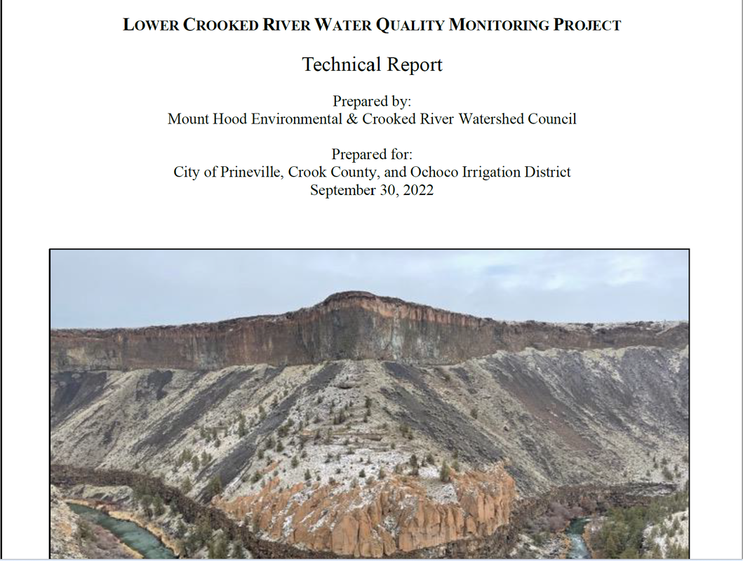
The Crooked River Watershed Council collects temperature data, nutrient samples and multi-parameter water quality data to quantitfy water quality. Water quality is sampled at 8 sites in the Lower Crooked River subbasin monthly, temporarily stored in coolers and overnight shipped to a lab in Idaho for analysis. The lab will analyze and provide results for ortho-phosphate, total phosphorus, total nitrogen, total Kjeldal nitrogen, and nitrate nitrogen. Examples of total phosphorus and total nitrogen are shown below as well as a final report.
| 2022 Water Quality Report | |
| File Size: | 382 kb |
| File Type: | |
Data Reports

CONTACT US
Tel: 541-447-8567
Chris@crwc.info
Crooked River Watershed Council
498 SE Lynn Blvd.
Prineville, OR 97754
Tel: 541-447-8567
Chris@crwc.info
Crooked River Watershed Council
498 SE Lynn Blvd.
Prineville, OR 97754

